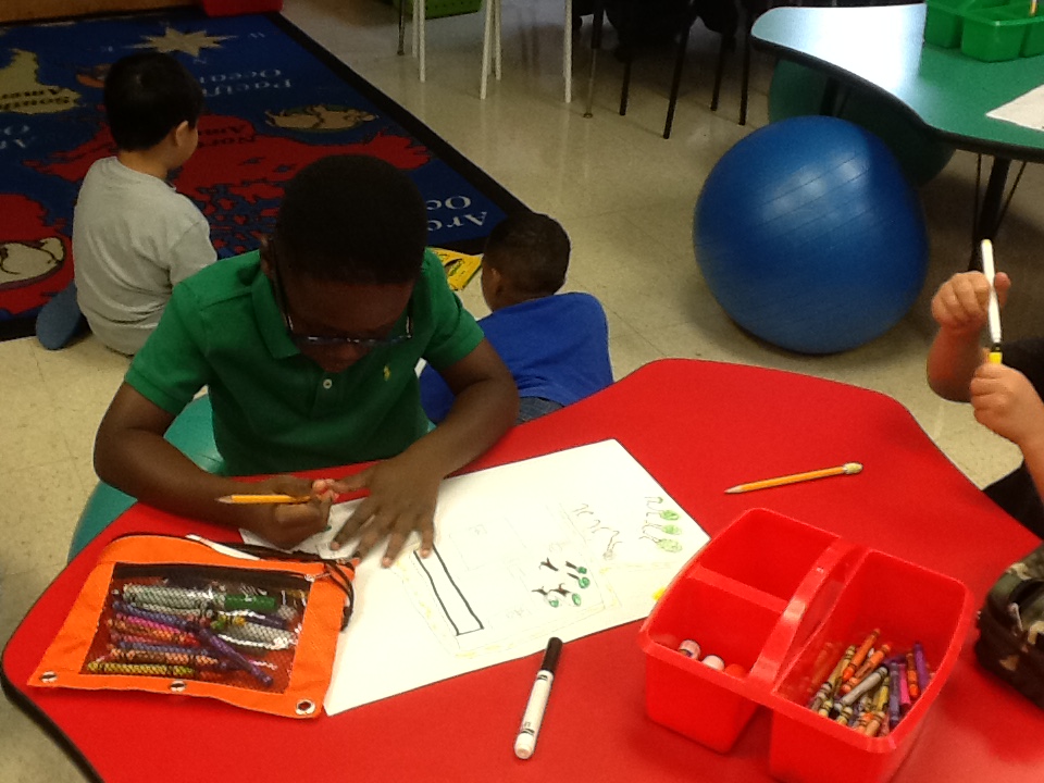
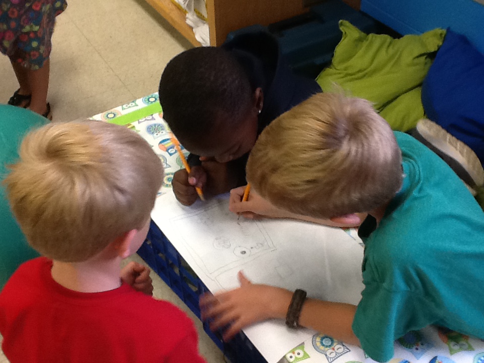
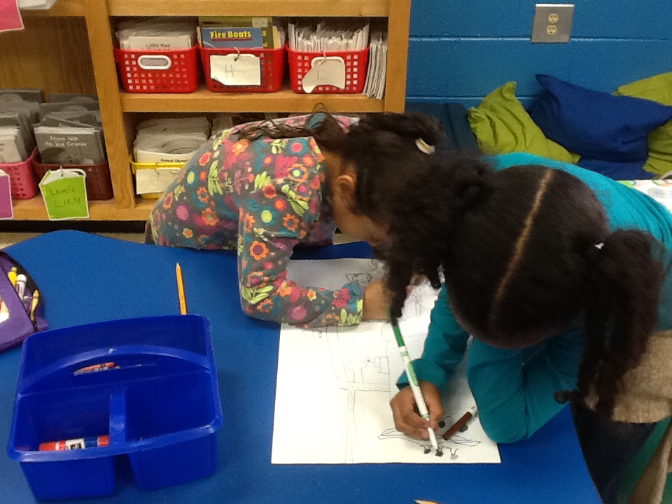
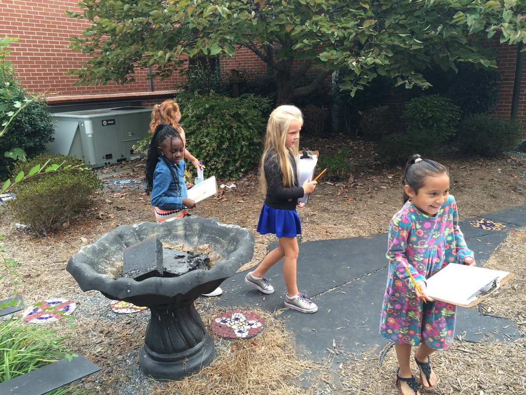
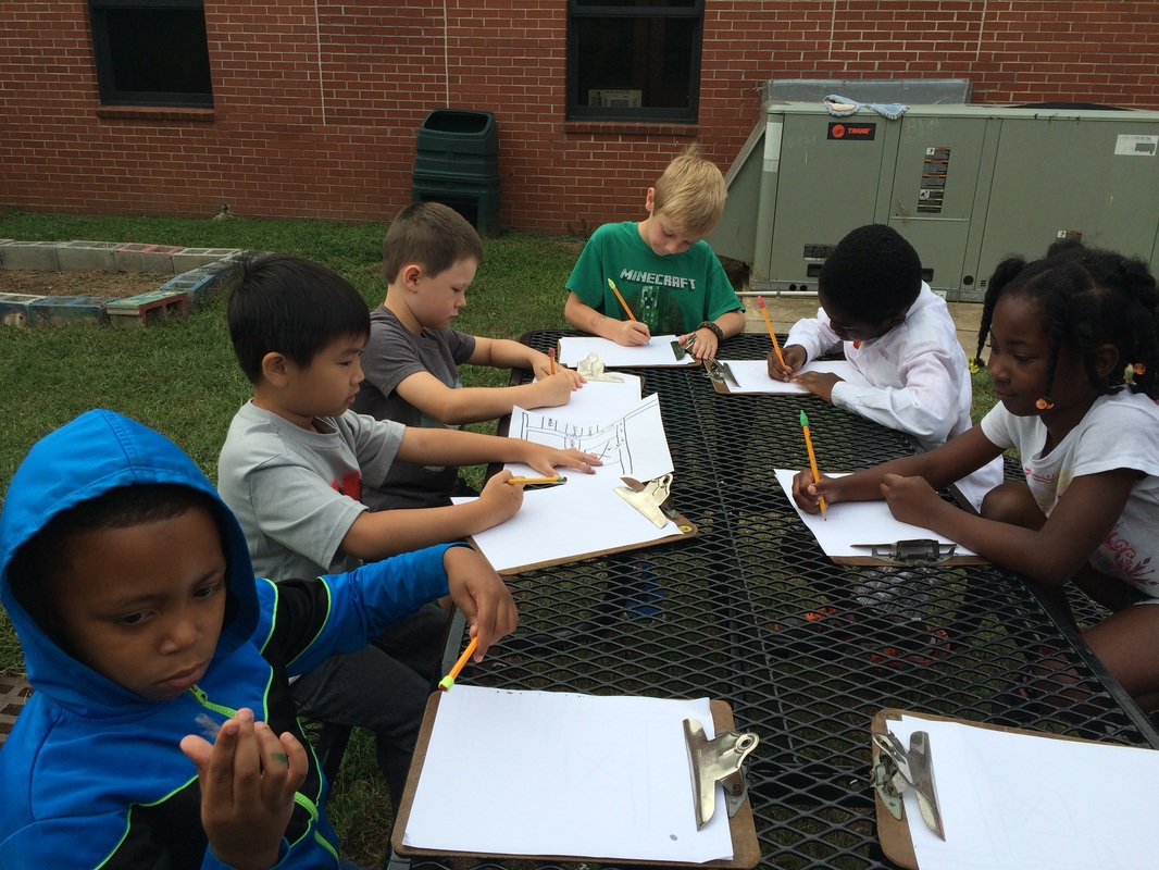
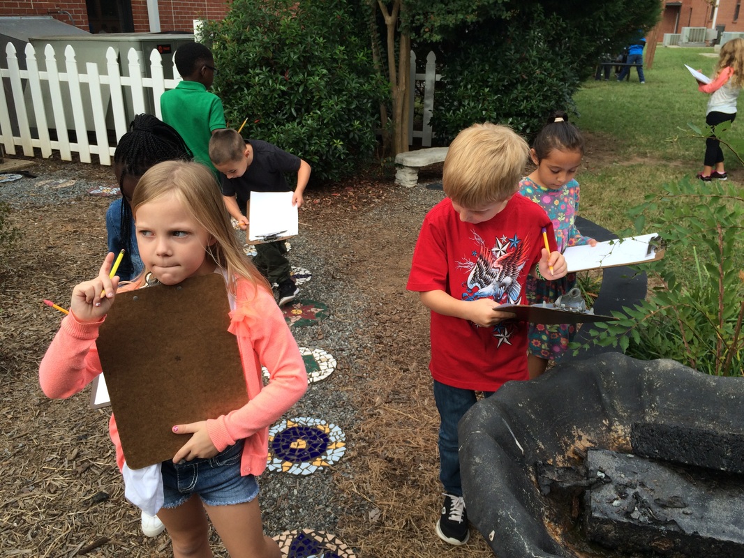
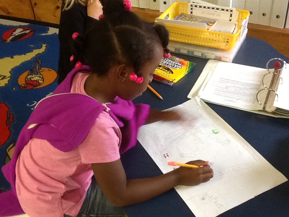
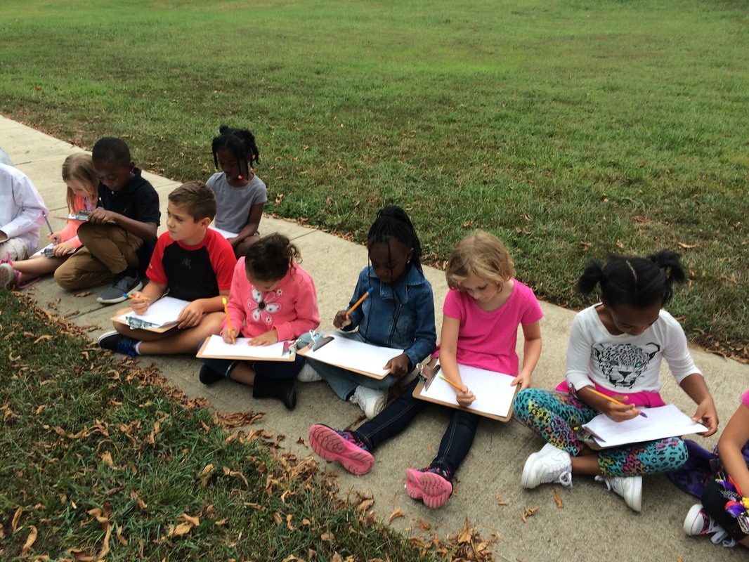
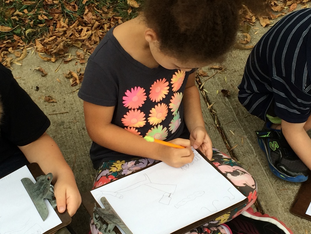
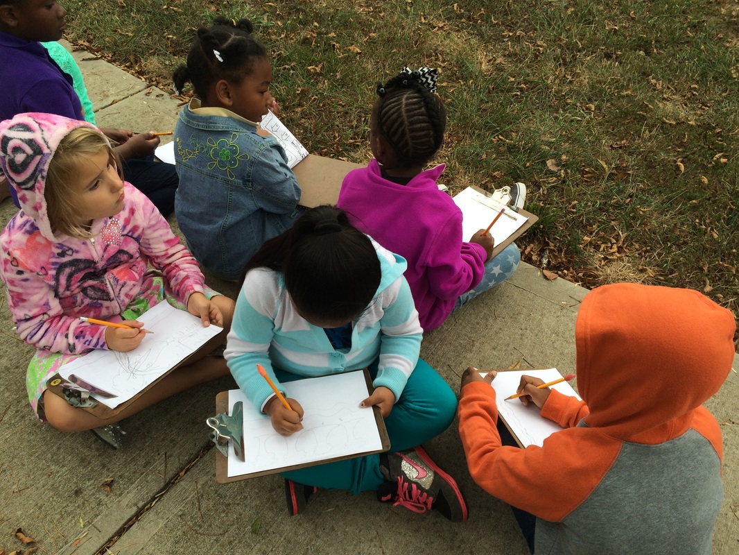
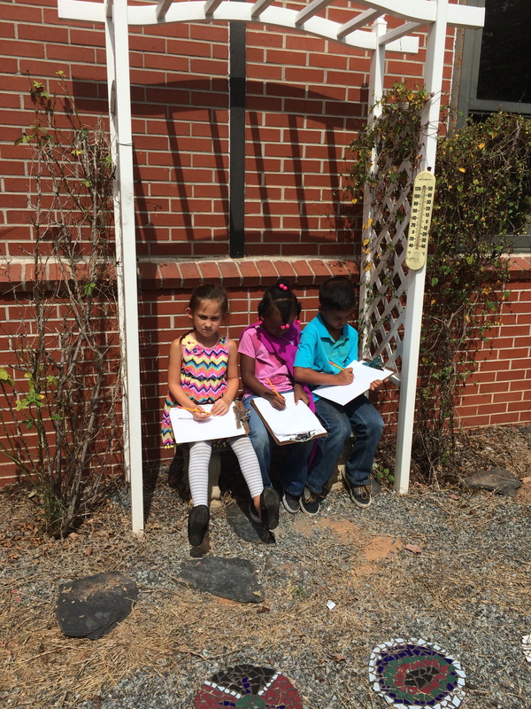
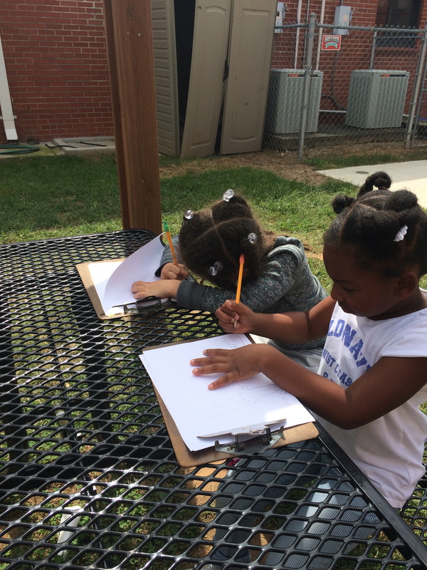
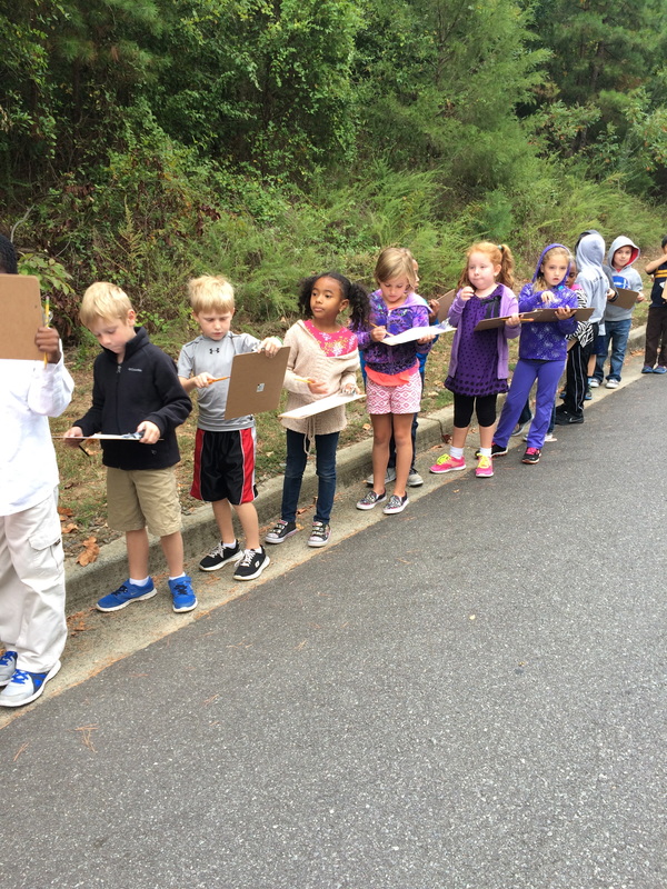
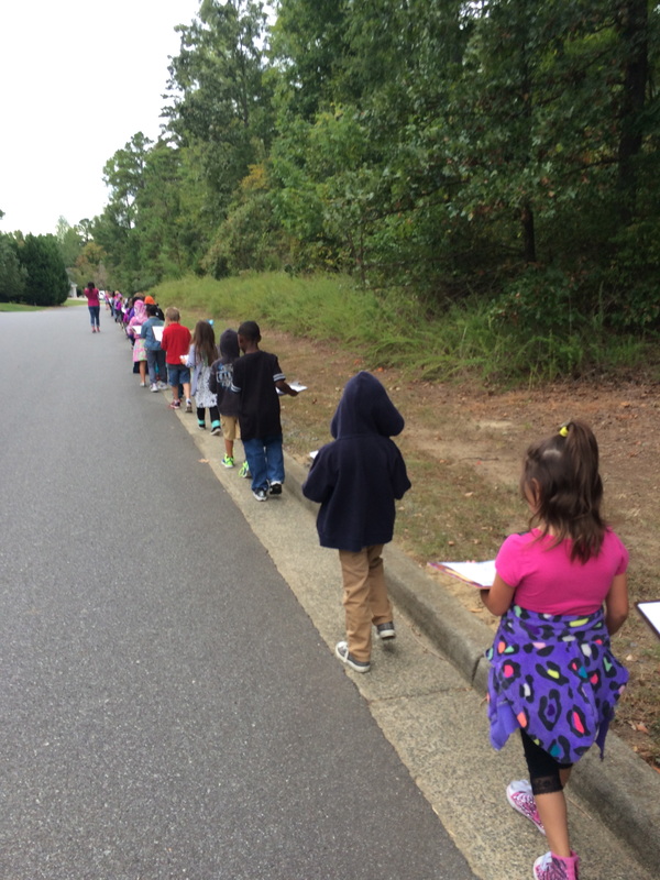
The students spent this week learning about the various aspects of maps. We discovered that there are many different types of maps that can show either a large area or smaller more precise area, that maps can show land and water, and determined the main purpose of maps and map keys. After reading about maps and viewing several maps using Google Earth, pairs of students drew maps of the neighborhood surrounding the school. They were also encouraged to make a map key to go along with the map so that others could read their map. We also went on an adventure around the school when the students had to follow a map to our butterfly garden. While in the garden the students practiced making a map of their own of the butterfly garden. Finally, we took a walk in the neighborhood around the school and used our own maps we drew to help find the quiet creek stream. The students really worked well this week during this introduction to maps and I was proud of both their cooperation and creativity skills. We will continue looking at various maps of different regions of the world as we continue our current planner on natural resources.
 |  |  |  |
 |  |  |  |
 |  |  |
 |  |  |  |
 RSS Feed
